odp
73 to 96 of 298 locations
-
National Glass Museum & Glass studio
National Glass Museum & Glass studio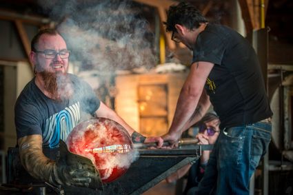
4142 LD Leerdam -
TOP Huis Doorn
TOP Huis Doorn
3941 MT Doorn -
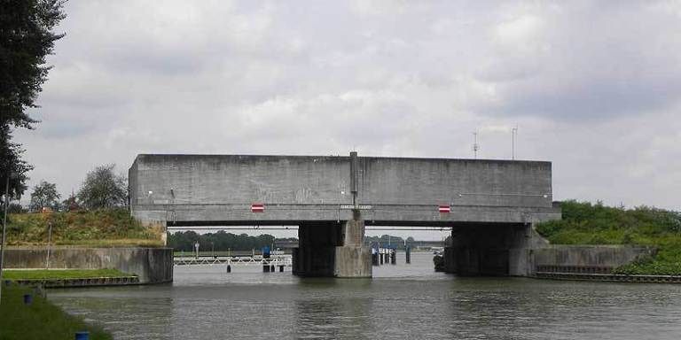
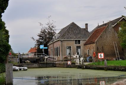
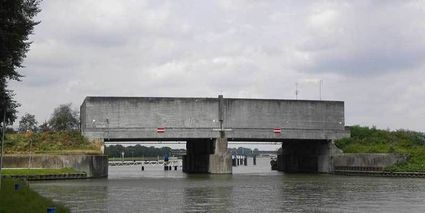
Inundation lock at Wijk bij Duurstede
Inundation lock at Wijk bij Duurstede
In 1870, the Kromme Rijn was given a key role in the New Dutch Waterline. Back then, it took almost a month to flood the area around Utrecht. This had to be speeded up. To this end, the river was widened, its bends were straightened and locks and dams were built. Near Wijk bij Duurstede, a large inundation lock was built that made Wijk bij Duurstede the ‘tap’ with which to turn on the New Dutch Waterline. This reduced the time needed to flood the inundation areas to between 4 and 12 days. The inlet is still used daily to transport fresh water to the city of Utrecht and the river Vecht.
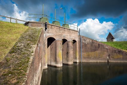
3961CH Wijk bij Duurstede -
-
Hoeve Ravenstein
Hoeve Ravenstein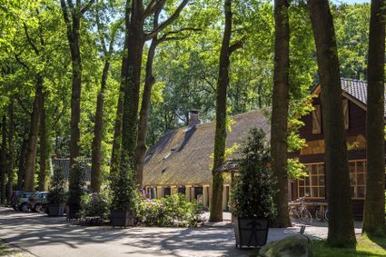
3744 ML Baarn -
Goejanverwelle lock
Goejanverwelle lock
The Goejanverwelle lock and the Enkele Wiericke lock on the Hollandse Ijssel played a key role in the Disaster Year. Together with the lock at Nieuwerbrug on the Oude Rijn, they formed the inlet to the Langeweide polder, which was the narrowest section of the Waterline. The locks were opened on 17 June 1672 – just in time to halt the advance of the French, who had already captured Oudewater and marched right up to the edge of the hastily flooded Waterline. With great promptitude, the commander of the garrison at Goejanverwelle, the Count of Horn, gave the order to raise sconces and fortifications to defend the locks. For the moment, the Waterline was safe!
3467 PR Hekendorp -
-
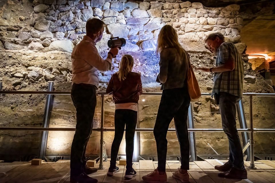
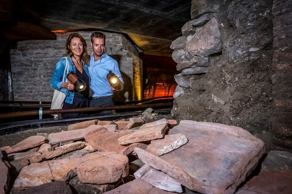
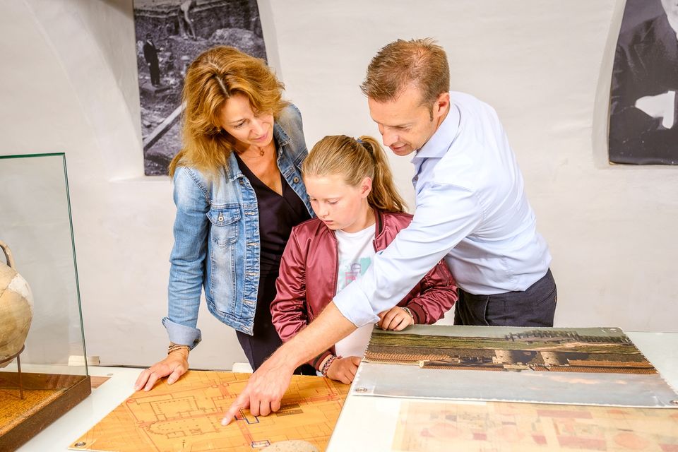
DOMunder
DOMunder
DOMunder uncovers the rich history of one of Utrecht's most significant locations: Domplein. Guided by an expert and equipped with your own smart flashlight, you will explore the place where the city of Utrecht was born. Go underground and discover archaeological remains and exciting stories.

3512 JC Utrecht -
-
Prattenburg Estate
Prattenburg Estate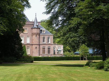
3911 RW Rhenen -
Delicacy shop ’t Kaasmeisje
Delicacy shop ’t Kaasmeisje
3421AC Oudewater -
TOP De Linielanding
TOP De Linielanding
3433 NV Nieuwegein -
TOP Museum Spakenburg
TOP Museum Spakenburg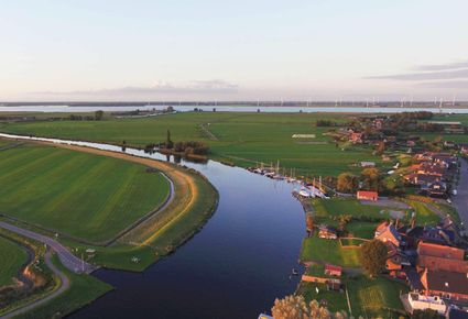
3752 AH Bunschoten-Spakenburg -
Veenendaal Town Beach
Veenendaal Town Beach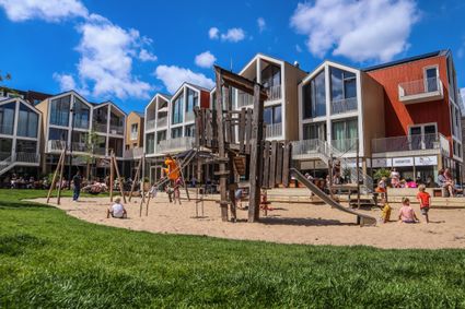
3901 Veenendaal -
Museum Castle Amerongen
Museum Castle Amerongen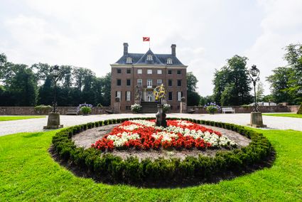
Drostestraat 20
3958 BK Amerongen -
Fort Uithoorn
Fort Uithoorn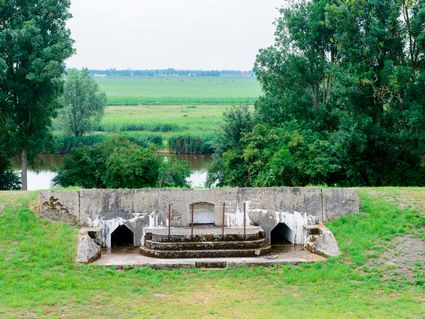
1427 AV Amstelhoek -
Plofsluis
Plofsluis
The Plofsluis consists of five concrete bins with a relatively weak floor that span the Amsterdam-Rhine Canal. The bins could store around 40,000 tonnes of sand, gravel or debris. In wartime, the floor could be blow up, so that its contents would drop into the Amsterdam-Rhine Canal. This would block the canal and prevent the inundation water from flowing out. The lock was designed in such a way that its sides would remain upright after the explosion, so that the floor could be reconstructed and the sluice could be used again. It was never actually used.
3439 LS Nieuwegein -
-
Bicycle Boat, stop NIeuwersluis
Bicycle Boat, stop NIeuwersluis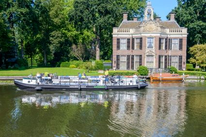
zandpad 9
3631 NK Nieuwersluis -
Grebbe Line Visitor's Centre
Grebbe Line Visitor's Centre
Buursteeg 2
3927EJ Renswoude -
Fort at 't Hemeltje
Fort at 't Hemeltje
Fort 't Hemeltje dates from 1877-1881 and is the last built fort of the New Dutch Waterline. It defended a strip of land that could not be flooded and the 's-Hertogenbosch-Utrecht railway line. Nowadays, Fort bij 't Hemeltje is largely used as office space for various entrepreneurs who are active in the field of sustainability. The fort also offers shelter to (breeding) birds and bats.
There is a walking route around the fort and there is an exciting spy route with fun assignments for children. In addition, the fort is regularly open to the public, for example during Open Heritage Days.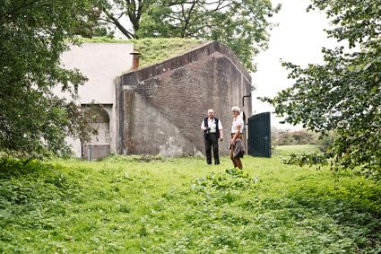
Fortweg 11
3992 LX Houten -
-
Molen de Windhond
Molen de Windhond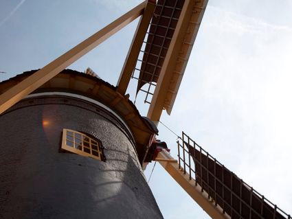
3447 GR Woerden -
Noorderpark Ruigenhoek
Noorderpark Ruigenhoek
Einthovendreef-Noord
3566 ME Utrecht -
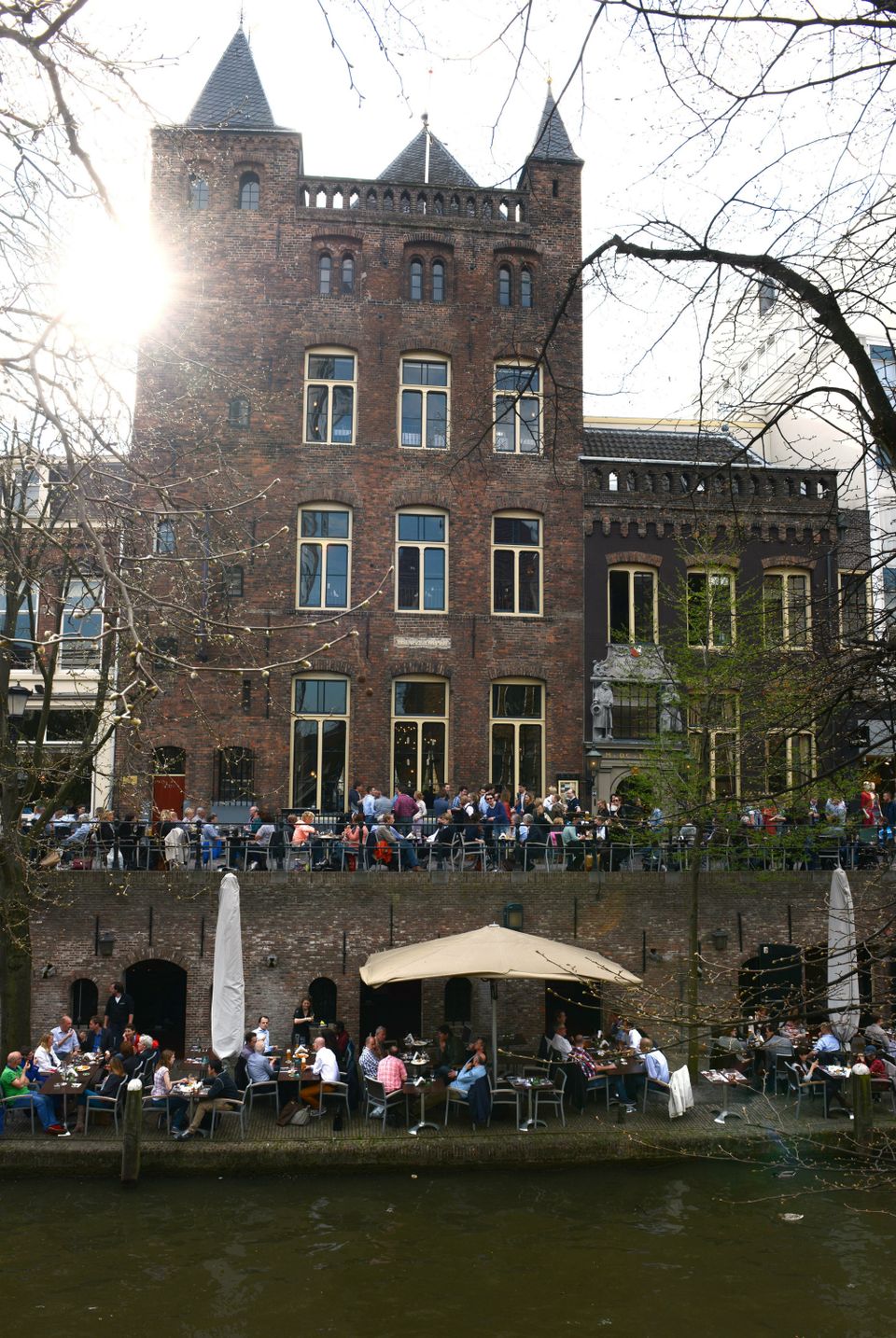
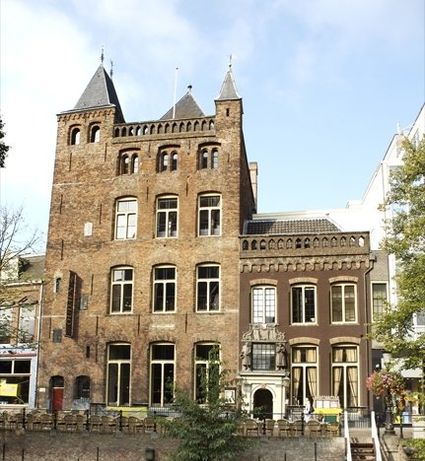
City castle Oudaen
City castle Oudaen
A monumental building from 1276 with its own brewery and a number of conference rooms, among other things.
In or around the year 1276, the Zoudenbalch family commissioned the construction of this so-called city castle. The building was entirely made of bricks, turning it into some kind of defence house. In 1395, the building got into the hands of the Oudaen family who named it after themselves. From 1758 until 1965 it was used as an old folks' home. After that, it was briefly in the possession of a student association. Since 1986, Oudaen is being used as a catering establishment.
3511 AE Utrecht -
-
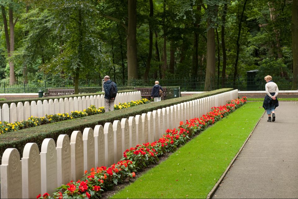
Grebbeberg Military Cemetery
Grebbeberg Military Cemetery
The largest battle of the Dutch army in WWII took place on Grebbeberg Hill. Here poorly armed and untrained men held their ground against a very powerful and ruthless opponent for three days. Grebbeberg Military Cemetery is the final resting place for more than 800 soldiers and 1 citizen who perished here in the Second World War. It is located on Grebbeberg Hill at Rhenen, and was a battlefield of just a few square kilometres, but is full of stories of the courage of desperation in the Netherlands.
The information centre, with an exhibition about the events on Grebbeberg Hill during “The Battle for Grebbeberg Hill” in May 1940, is open daily from 9:00 am to 5:00 pm.

3911 AV Rhenen -
-
Fort de Gagel
Fort de Gagel
Gageldijk 165
3566 MJ Utrecht -
Fort Ruigenhoek
Fort Ruigenhoek
Ruigenhoeksedijk 125A
3737 MR Groenekan -
Nederlands Zilvermuseum
Nederlands Zilvermuseum
2871 CZ Schoonhoven