odp
145 to 168 of 301 locations
-
Soesterduinen Sand Dunes
Soesterduinen Sand Dunes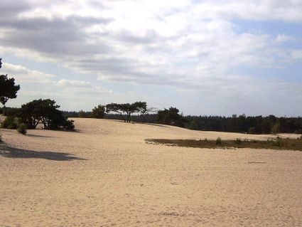
3786 MD Soest -
Proeverij de Azijnmakerij
Proeverij de Azijnmakerij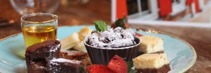
Zeist -
Amelisweerd - Rhijnauwen
Amelisweerd - Rhijnauwen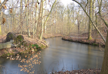
Koningslaan 9
3981 HD Bunnik -
TOP 't Hooge Erf
TOP 't Hooge Erf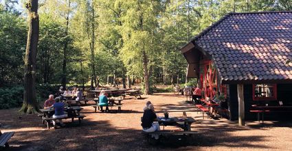
3749 AB Lage Vuursche -
The Lekpoort
The Lekpoort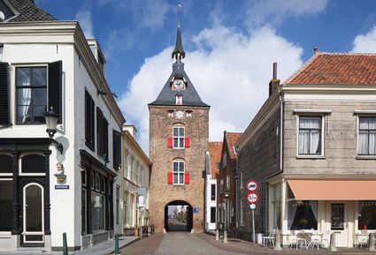
4132 AR Vianen -
Tobacco Cultivation Museum
Tobacco Cultivation Museum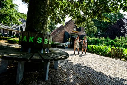
Burg. Jhr. H. v.d. Boschstraat 46
3958 CD Amerongen -
Bicycle Boat, Maarssen
Bicycle Boat, Maarssen
Zandweg 44 (tegenover nr. 44)
3601AE Maarssen -
TOP ‘t Jagershuys
TOP ‘t Jagershuys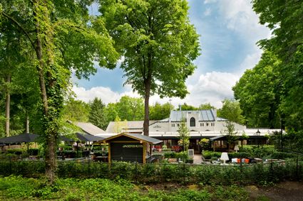
3707 HW Zeist -
Museum Bunker Leusden
Museum Bunker Leusden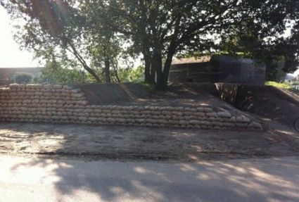
3831 RZ Leusden -
Highland West Coelhorst
Highland West Coelhorst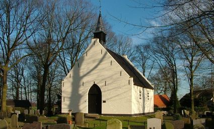
3828 PC Hoogland -
Country Estate Bergse Bossen***
Country Estate Bergse Bossen***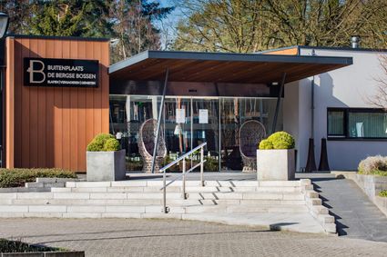
3971 GM Driebergen-Rijsenburg -
Fort Maarsseveen
Fort Maarsseveen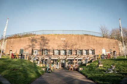
3602 AM Maarssen -
TOP Oud-Zuilen, Slot Zuylen
TOP Oud-Zuilen, Slot Zuylen
3611 AS Maarssen -
Large Pump/Vianen Town Pump
Large Pump/Vianen Town Pump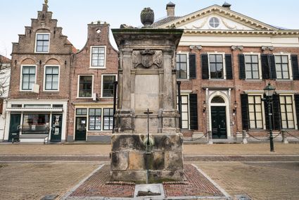
Voorstraat 54
4132 AS Vianen -
Naarden Vesting
Naarden Vesting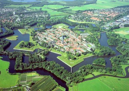
Ruijsdaelplein 10
1411 EA Naarden-Vesting -
Veenendaal Town Beach
Veenendaal Town Beach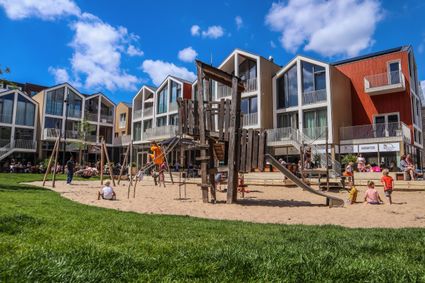
3901 Veenendaal -
Prattenburg Estate
Prattenburg Estate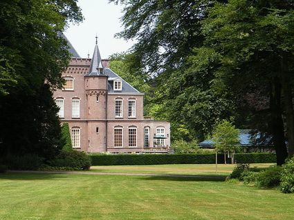
3911 RW Rhenen -
Linschoten country Estate
Linschoten country Estate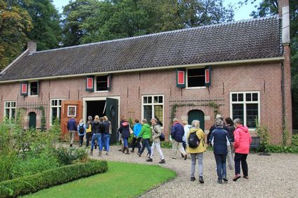
3461 AC Linschoten -
Eemlandhoeve
Eemlandhoeve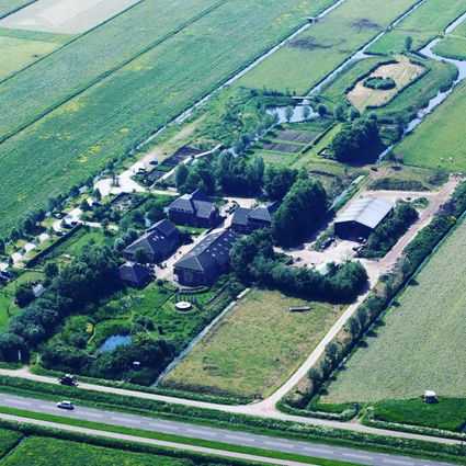
3752 LK Bunschoten-Spakenburg -
TOP Museum Spakenburg
TOP Museum Spakenburg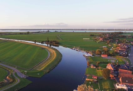
Spakenburg -
Bicycle Boat, stop NIeuwersluis
Bicycle Boat, stop NIeuwersluis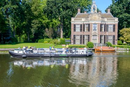
zandpad 9
3631 NK Nieuwersluis -
Mill de Hoop
Mill de Hoop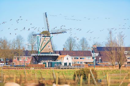
3752 CL Bunschoten-Spakenburg -
Fort Nieuwersluis
Fort Nieuwersluis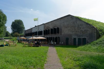
Rijksstraatweg 7b
3631 AA Nieuwersluis -
Muideslot
Muideslot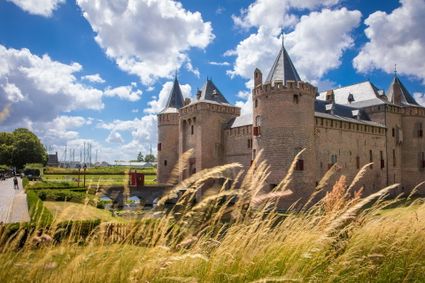
Herengracht 1
1398 AA Muiden